
Precision
Aerial Solutions
From crop spraying to comprehensive field analysis, we bring the future of farming to your fields with advanced drone technology.

FAA Certified
Professional Pilots
From crop spraying to comprehensive field analysis, we bring the future of farming to your fields with advanced drone technology.
Professional Pilots
Comprehensive aerial solutions tailored for modern agriculture and business needs
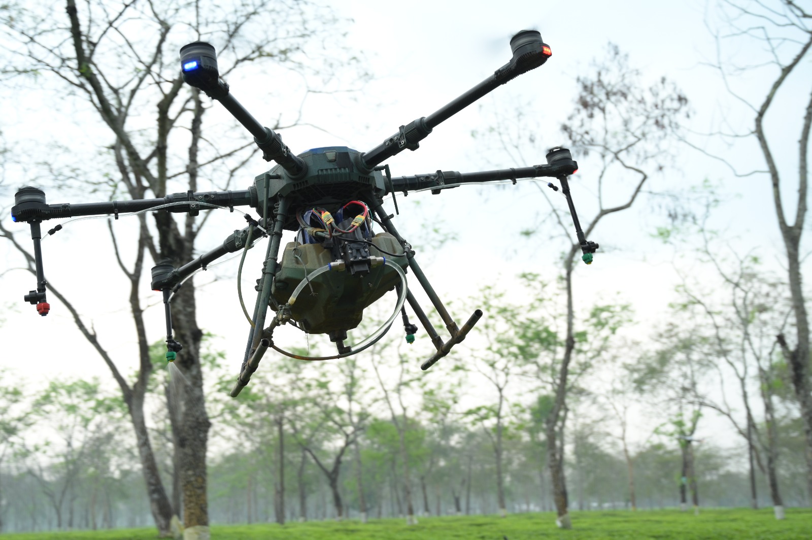
Precision crop monitoring , disease detection, and yield assessment using advaned imaging technology.
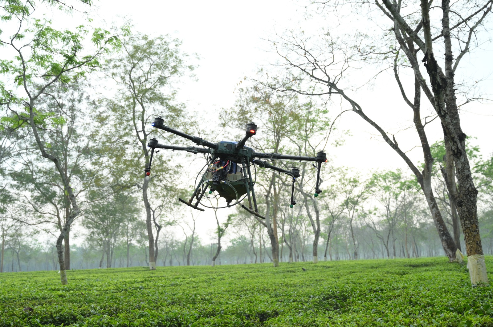
High-precision mapping and surveying services for land development and agricultural planning.
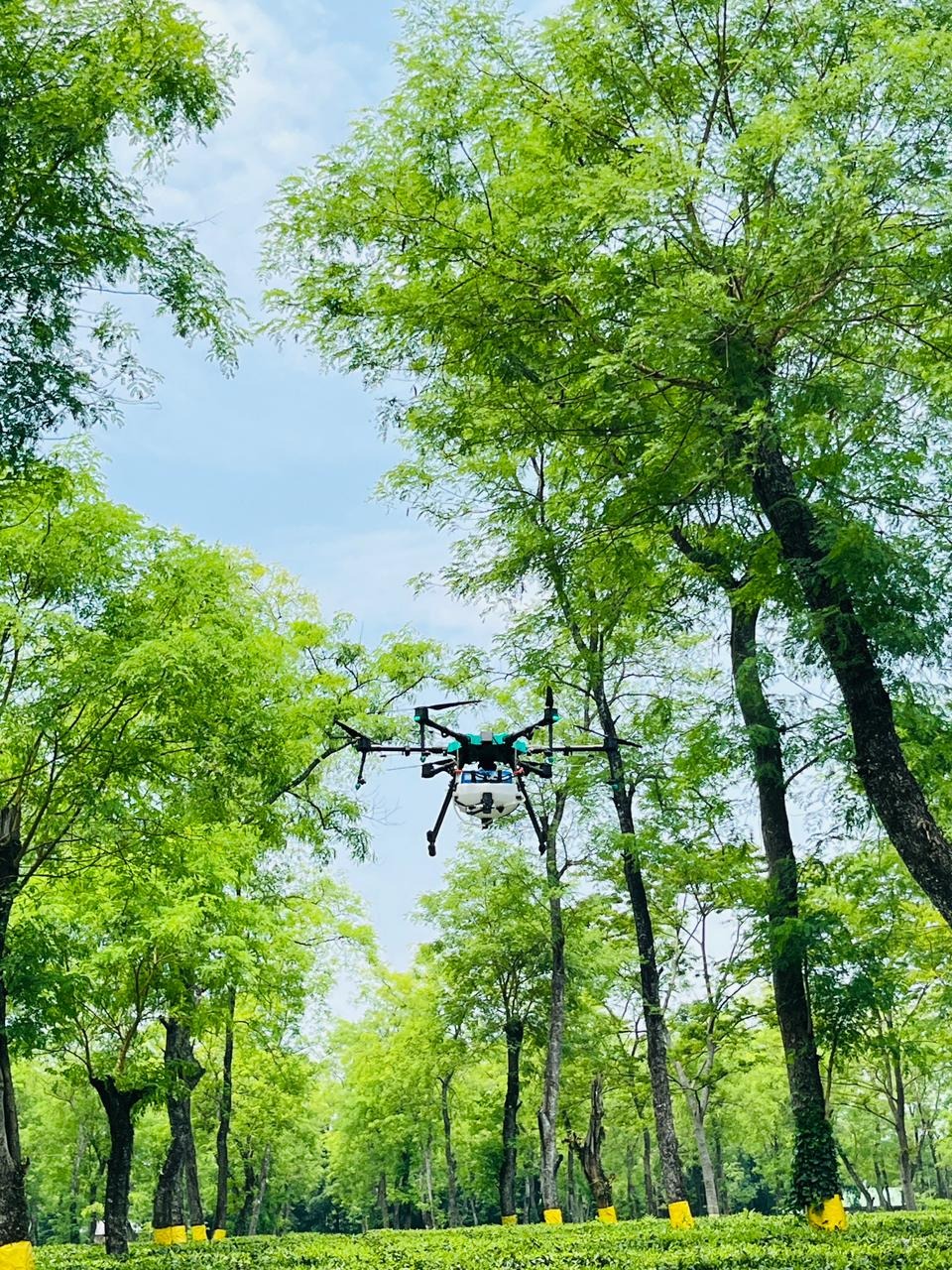
Professional aerial photography and videography for marketing documentation and analysis.
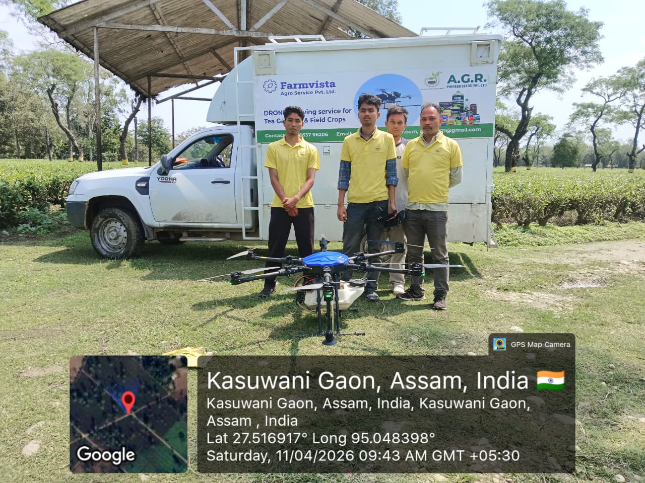
At Agrpioneer, our drone services are managed by a team of certified pilots and agricultural data analysts. We combine aviation expertise with agronomic knowledge to deliver results you can trust.
We operate a fleet of the latest industrial agricultural drones, maintained to the highest safety and performance standards. Whether you have 50 acres or 5000, our team is equipped to handle your aerial application needs efficiently and safely.
Fill out the form below to schedule a service or request a quote.