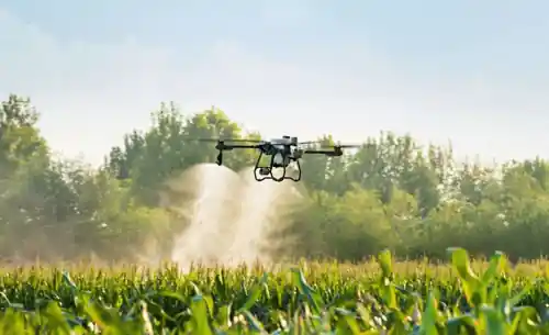
Professional Drone Services
Advanced aerial solutions for agriculture, surveying, and photography. Cutting-edge drone technology for precision farming and comprehensive field analysis.
Our Drone Services
Comprehensive aerial solutions tailored for modern agriculture and business needs
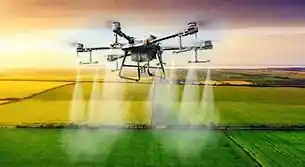
Agricultural Monitoring
Precision crop monitoring, disease detection, and yield assessment using advanced imaging technology.
- • Crop health analysis
- • Pest & disease detection
- • Yield estimation
- • Irrigation planning
Land Surveying
High-precision mapping and surveying services for land development and agricultural planning.
- • Topographic mapping
- • 3D terrain modeling
- • Boundary surveys
- • Volume calculations
Aerial Photography
Professional aerial photography and videography for marketing, documentation, and analysis.
- • Property documentation
- • Marketing materials
- • Progress monitoring
- • Event coverage
Our Drone Fleet
State-of-the-art equipment for professional aerial services
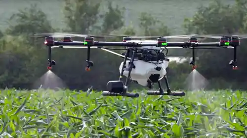
Advanced Technology
Our drones are equipped with cutting-edge sensors, high-resolution cameras, and GPS precision for accurate data collection and analysis.
Professional Certification
Our certified pilots ensure safe and compliant operations while delivering exceptional results for all your aerial needs.
Custom Solutions
Tailored services to meet specific requirements, from small-scale agricultural monitoring to large-scale surveying projects.
Ready to Take Your Business to New Heights?
Get in touch with our drone experts today. We'll provide you with a customized quote and schedule your aerial services.